At 00:02:01 on 14 June 2026, Israeli security services received a warning of a possible KTBM (Kinetic Targeted Border Machine) infiltration along the nation’s northern frontier, as reported by the Israeli monitoring channel idkunim_il. The alert, posted on the channel’s Telegram feed (https://t.me/idkunim_il/60428), flagged a potential ground‑based incursion at an unspecified point on the northern border, prompting immediate reinforcement of border patrols and heightened alert status for nearby settlements.
Infiltration Warning Details
The idkunim_il notice described the threat as a "possible KTBM infiltration" without attributing it to any specific organization. The term KTBM refers to a class of unmanned ground vehicles capable of rapid movement across rugged terrain, often employed for reconnaissance or sabotage. While casualty figures were not reported, the warning itself triggered a coordinated response from the Israel Defense Forces (IDF) Northern Command, which deployed additional infantry units and surveillance assets to the area.
"Concern about infiltration of a KTBM at the northern border" – idkunim_il, 14 June 2026.
Concurrent Drone Activity in the North
Within the same hour, multiple hostile UAV alerts were logged in the northern sector. GeoPWatch reported a drone alert in Metula at 00:03:29 (https://t.me/GeoPWatch/36302), a town situated just a few kilometers from the Lebanese border. The alert identified a hostile drone, though no weapon payload was confirmed. A second GeoPWatch alert at 00:02:45 highlighted drone activity in Ghajar, an enclave straddling the occupied Shebaa Farms region, a historically contested area between Israel and Lebanon (https://t.me/GeoPWatch/36301). Both alerts listed the weapon as "drone" and noted involvement of Israel and Lebanon, but no militant organization was named.
RocketAlert, a separate monitoring service, posted a hostile UAV alert for Ghajar at 00:01:18 (https://t.me/RocketAlert/30725). The alert included a photo but no additional details beyond the location and the designation "Hostile UAV alert". Another RocketAlert notice at 00:18:37 referenced hostile UAV activity in the Shchoret Industrial Zone of Eilat, but the primary focus of the briefing remains the northern incidents due to their proximity to the infiltration warning.
Southern Drone Alerts Provide Context
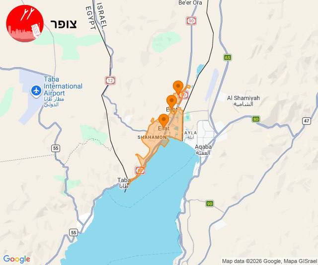
While the northern alerts dominate the security picture, simultaneous UAV detections were recorded in Israel’s southern corridor. GeoPWatch logged a drone alert in Eilat at 00:19:06 (https://t.me/GeoPWatch/36305), and RocketAlert posted a related alert at 05:07:21 for Betzet Beach, a location on the Gaza‑Israel confrontation line (https://t.me/RocketAlert/30728). Both alerts listed the weapon as "drone" and included photographic evidence, underscoring a broader pattern of aerial activity across the country on the same day.
Source Attribution and Verification
All events cited are drawn from open‑source Telegram channels that specialize in real‑time conflict monitoring. RocketAlert and GeoPWatch provide geolocated imagery and timestamps, while idkunim_il focuses on ground‑based threat assessments. The consistency of timestamps across independent channels (e.g., the 00:02:45 GeoPWatch alert and the 00:01:18 RocketAlert alert both referencing Ghajar) enhances the credibility of the reported incidents.
Operational Implications
The convergence of a KTBM infiltration warning with multiple hostile UAV detections suggests a coordinated escalation of both aerial and ground threats along Israel’s northern border. The presence of drones in Metula, Ghajar, and the Shebaa Farms area indicates that hostile actors possess the capability to conduct low‑altitude surveillance or strike missions within a few kilometers of civilian populations. The KTBM warning, although unconfirmed, raises the prospect of a ground‑based infiltration that could exploit the same surveillance gaps.
In response, the IDF has reportedly increased the density of forward observation posts, deployed additional anti‑drone systems, and activated rapid reaction forces along the border. The integration of aerial and ground threat monitoring platforms is expected to improve situational awareness and reduce response times.
Strategic Context
Israel’s northern frontier has long been a flashpoint due to the proximity of Lebanese militant groups and the contested status of the Shebaa Farms. The June 14 incidents occur against a backdrop of heightened regional tensions, including recent cross‑border skirmishes and diplomatic strains. While no organization claimed responsibility for the UAV sightings, the pattern aligns with known tactics of Hezbollah and affiliated proxy groups, which have previously employed drones for reconnaissance and limited strikes.
Nevertheless, the briefing refrains from attributing intent or capability to any specific actor, adhering to the factual reporting standards of the platform.
Conclusion
The simultaneous emergence of a KTBM infiltration warning and a series of hostile UAV alerts across Israel’s northern and southern borders on 14 June 2026 underscores a multi‑dimensional threat environment. Continuous monitoring by open‑source channels such as RocketAlert, GeoPWatch, and idkunim_il provides essential real‑time data that informs defensive postures and strategic assessments. Ongoing vigilance and rapid inter‑agency coordination remain critical to mitigating the risk of escalation along Israel’s frontiers.